Willamette University researchers spent summer 2026 collecting heat measurements across Marion County to create the region's first-ever heat map.
The project, called Heat Watch, sent faculty, students and volunteer "street scientists" to locations across the county at different times of day, according to a Willamette University announcement published Thursday, Aug. 27.
The data will feed directly into the City of Salem's Climate Action Plan and Marion County's Climate and Health Adaptation Plan, guiding decisions on where to plant trees and deploy cooling resources.
Marion County ranks as Oregon's fourth most heat-vulnerable county, according to the university. Many homes in the agriculturally rich Willamette Valley lack air conditioning, and extreme heat creates hazardous conditions for farmworkers.
"Extreme heat is the leading weather-related killer in the United States right now," said Nicole Iroz-Elardo, assistant professor of public health at Willamette University. "It is only expected to get worse as climate change intensifies, and the impacts vary quite a bit across our city and county."
Alongside the main Heat Watch effort, Iroz-Elardo and environmental science faculty Katja Meyer, Melinda Butterworth and Alexander Sodeman ran a separate pilot project, collecting additional measurements with Willamette's Kestrel 5400 heat stress trackers.
The handheld meters are used to detect unsafe heat conditions in industrial, athletics and military settings.
Students Nevellie Larson and Burton Hirsch, working under Assistant Professor of Environmental Science Michelle Talal through Willamette's Science Collaborative Research Program (SCRP), prepared campus equipment for the fieldwork.
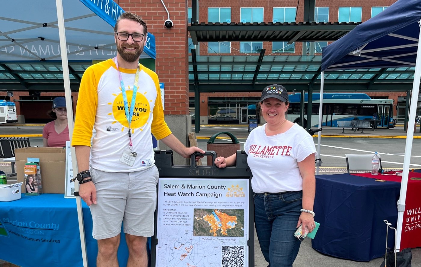
The university's Office of Civic Engagement also joined the Marion County Heat Awareness & Resource Fair. Students Brooke Proctor and Lucca Braudagan led hands-on activities for families, including an infrared thermometer scavenger hunt that showed children how pavement and buildings trap heat and how shade lowers temperatures.
Michael Keuler, environmental health resiliency coordinator with Marion County Health Promotion & Prevention Services, said the university partnership is an invaluable part of the county's Climate and Health Adaptation Plan.
Iroz-Elardo said researchers plan to update the maps over time and refine heat-exposure estimates for parks, agricultural fields and other outdoor workplaces where farmworkers labor.
Salem's Climate Action Plan targets a 50% reduction in carbon emissions by 2035 and carbon neutrality by 2050. The heat map data will help the city pinpoint neighborhoods where cooling interventions are most needed.