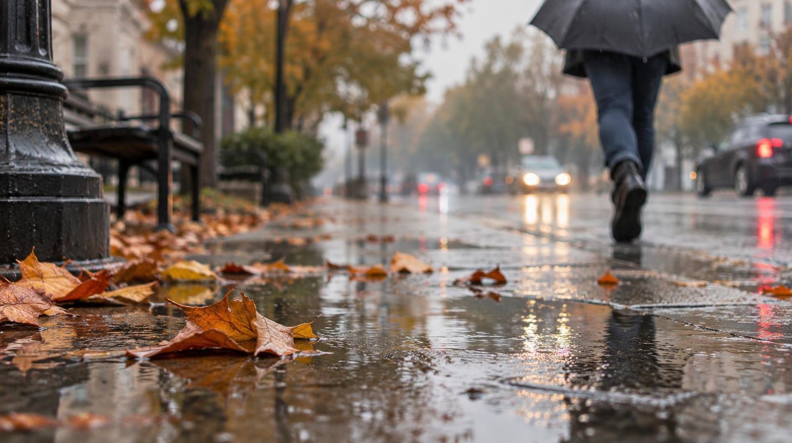
Rain returned to Salem on Sunday, Oct. 25, breaking a dry stretch that had made this the third-driest October in records dating to the 1890s.
A low-pressure front moved across the Willamette Valley on Sunday morning, bringing widespread cloud cover and rain, the National Weather Service's Portland office said in a weather analysis, according to The Oregonian.
Salem's airport had recorded just 0.1 inches of rain for the entire month through Oct. 23, compared to a monthly average of 3.4 inches, the Statesman Journal reported. Only October 1895 and October 1917 were drier in Salem.
The month was also far warmer than normal. Through Oct. 19, Salem's average high temperature hit 73.1 degrees, well above the normal of 64.8, the Statesman Journal reported.
More rain is on the way. After a brief dry spell Tuesday, Oct. 27, rain will likely return Wednesday, Oct. 28, according to the NWS Portland office.
The agency said cumulative rainfall is unlikely to trigger flooding, with breaks expected between fronts.
Temperatures are dropping too. Highs in the Willamette Valley are expected to settle into the 50s and 60s, with overnight lows falling into the 30s to mid-40s.
NWS meteorologist Tyler Kranz told the Statesman Journal on Oct. 23 that the weekend system was not expected to deliver much precipitation. "In general, it's not a whole lot," Kranz said at the time, referring to the forecast for the Oct. 24-25 storm. But by Sunday, the low-pressure front had arrived and rain was falling across the valley.
In the Cascades, colder conditions are setting in. Areas above 5,000 feet could see light snow, the NWS Portland office said. Cloud cover in the Portland area should help buffer against frost for less cold-hardy plants, according to the agency.
The next dry window is expected Tuesday, Oct. 27, before another round of rain moves in later in the week.